

What is an Oyster Research Station (ORS)?
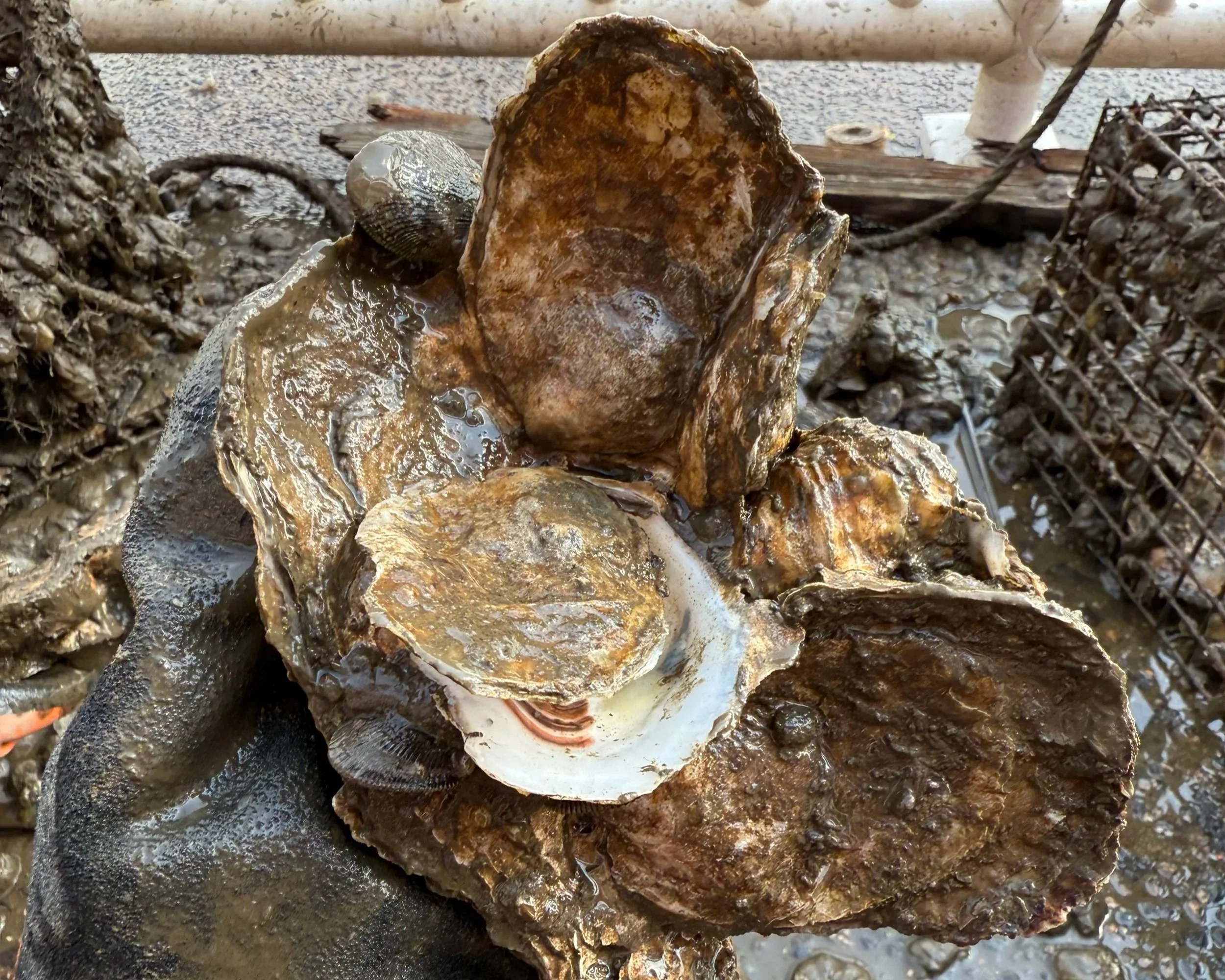
An Oyster Research Station (ORS) is a small, fixed underwater laboratory designed by Billion Oyster Project to monitor oyster growth and biodiversity in New York Harbor estuary. Each ORS measures 8” x 8” x 18” and is secured to a dock, bulkhead, or floating buoy at a permitted location along the harbor. On average, an ORS can hold 50 - 200 oysters along with the local marine organisms that naturally settle and thrive among them.
The Oyster Research Station program is one of Billion Oyster Project’s flagship educational initiatives to engage students, teachers, schools, and volunteers in hands-on marine ecology data collection, and restoration science. Participants monitor their oyster research stations to study oyster growth and species diversity and contribute data that helps inform our impact.
Oyster Research Stations are only accessible by trained Billion Oyster Project teachers and Ambassador volunteers.
Join the ors program

If you are a New York City educator interested in bringing your students to the water’s edge to monitor an Oyster Research Station, you can become part of our network of educators restoring New York Harbor through hands-on science with their students.
Click to learn more about getting involved as a teacher
If you are a community member interested in supporting the monitoring and maintenance of ORS cages across the city, you can become a Billion Oyster Project Ambassador volunteer.
Click to learn how to become and Ambassador
EXPLORE THE ORS SITES
Oyster research stations expand our restoration work and data collection across the five boroughs. Use the interactive map to explore Billion Oyster Project ORS locations across New York Harbor. Each site marker includes information about the location, surrounding body of water, and photos of the site. A detailed ORS Site Resource Guide with expanded site information is in development - check back soon for updates!
Quick Links For Stewards
ORS Site Information
A slide deck with detailed information about each ORS site.
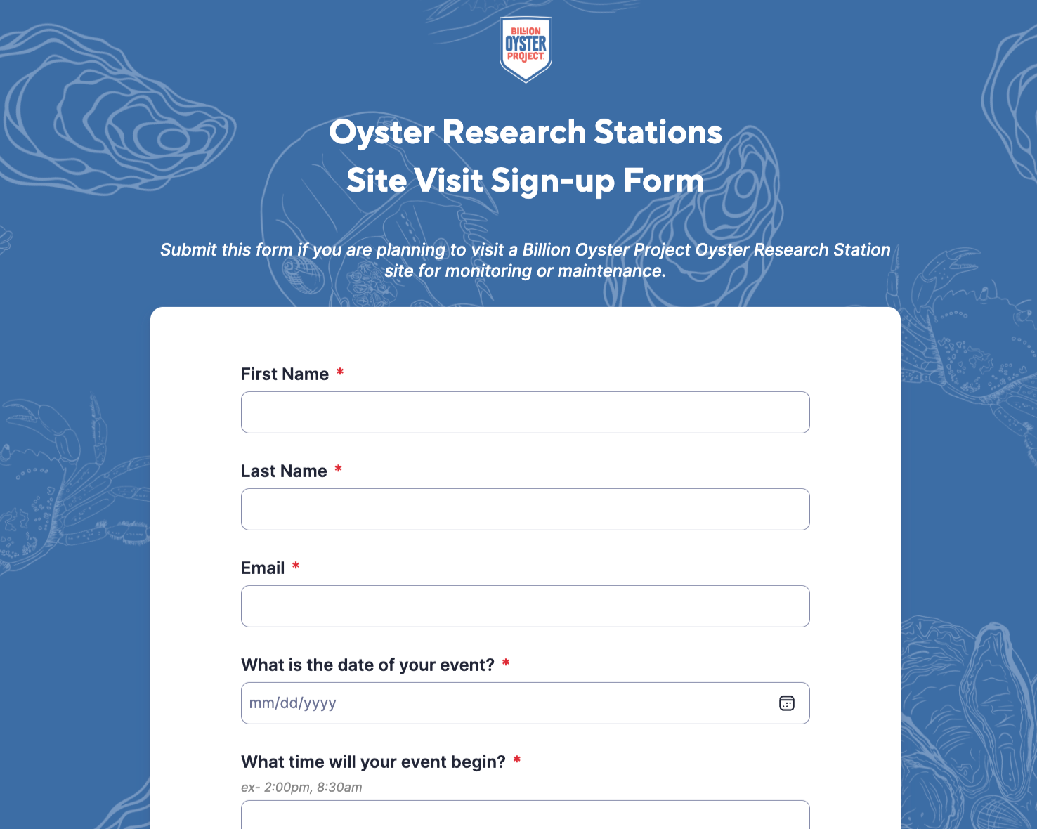
If you are a trained teacher or BOP Ambassador, submit this form to schedule your next ORS visit

Use this sheet to record data about an ORS cage’s oysters, biodiversity, and condition

Use this form to submit data for oysters, biodiversity, and ORS cage condition

Learn or review the protocol for setting up the site to monitor your ORS and for cleaning up afterward
Identify the species in your Oyster Research Stations with our New York Harbor Species ID Guide
Learn or review the protocol for measuring oysters in your Oyster Research Station

See the latest data from Oyster Research Station site visits

Learn or review the protocol for surveying species observed in your Oyster Research Station
Current City-Wide ORS Cage Status
This table shows the current condition of every Billion Oyster Project Oyster Research Station across New York City and whether monitoring data has been submitted within the last 90 days. Ambassadors and educators can use this information to plan visit logistics, including class size, materials, and appropriate activities.
Green rows show historical information about an ORS, including oyster broodstock source and set dates. (if available)
White rows located under the green rows show the most recent monitoring submissions for an ORS, including current cage condition, oyster data, and biodiversity observations.
If you have questions or comments about this report, email us!
Additional oysters may be requested for Oyster Research Stations that are without any oysters. New oysters should not be added to existing oysters in an ORS. You can request a new stock of oysters through this form. --> ORS Oyster Stock Request Form
Due to permitting regulations we are unable to place live oysters outside of New York City. If you are on Long Island, we recommend that you take a look at some Long Island oyster projects, such as SPAT from the Cornell Cooperative. Please see here for other oyster restoration projects around the East Coast that could be a good fit for you.