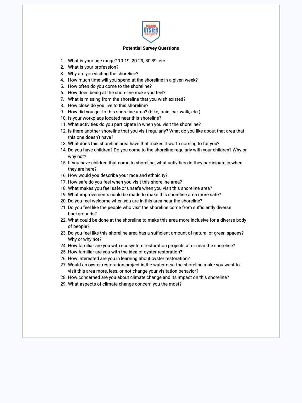
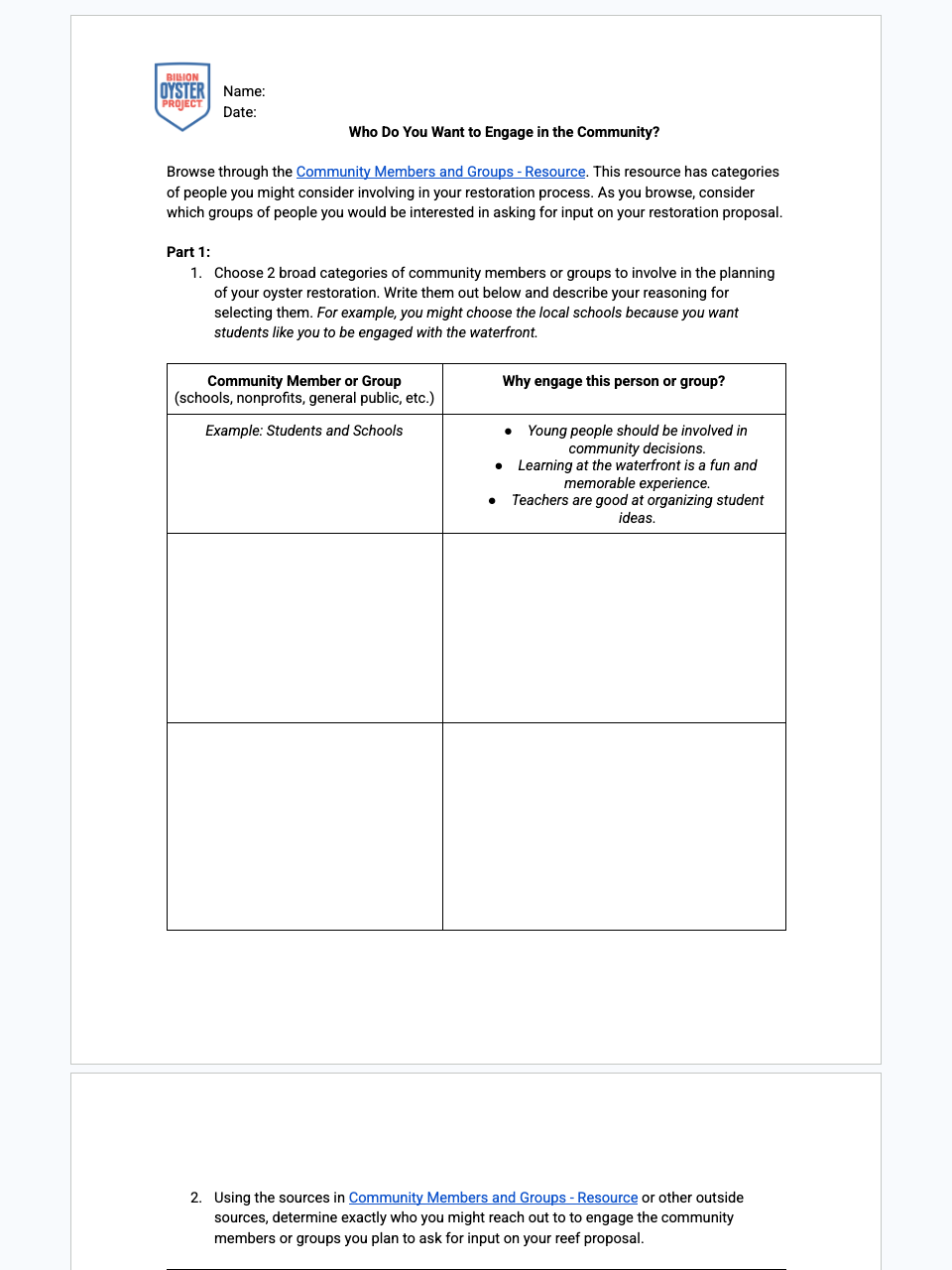
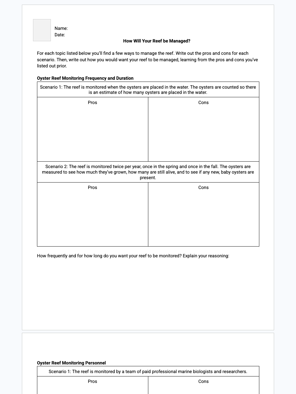
Billion Oyster Project builds oyster reefs across NY Harbor—but where should future restoration go? In this unit, students use spatial analysis to weigh habitat suitability and community impact, then pick a site that gives oysters the best shot while benefiting the surrounding ecosystem and people.
.jpg)
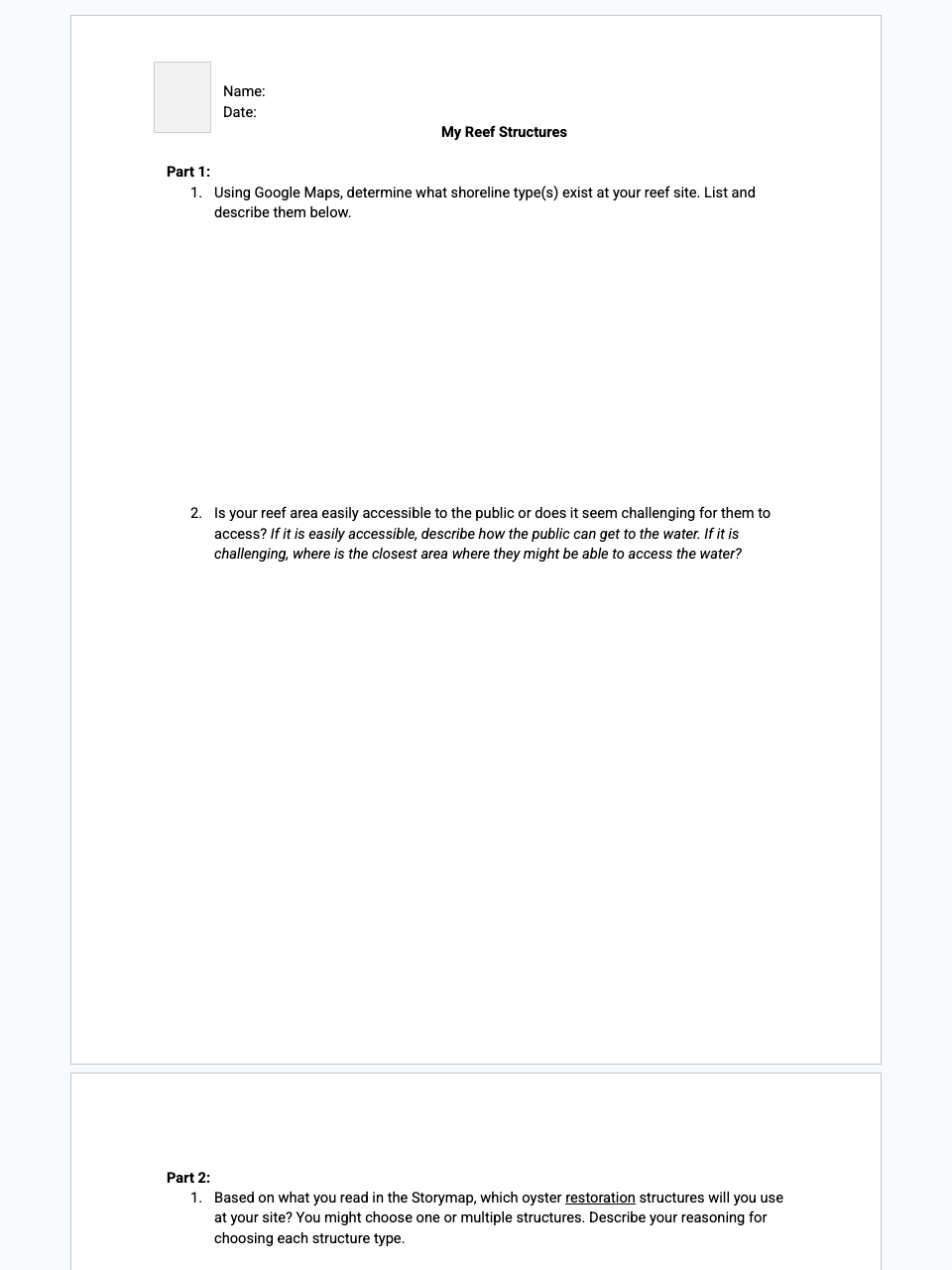
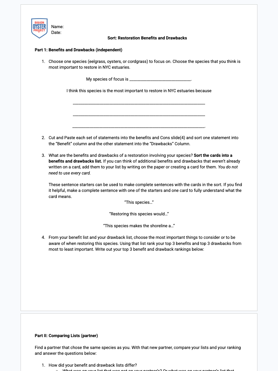
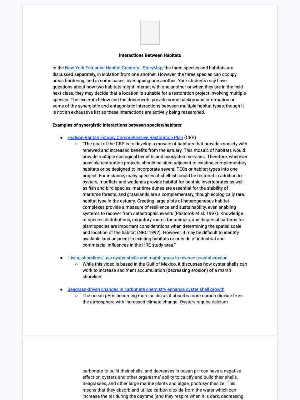
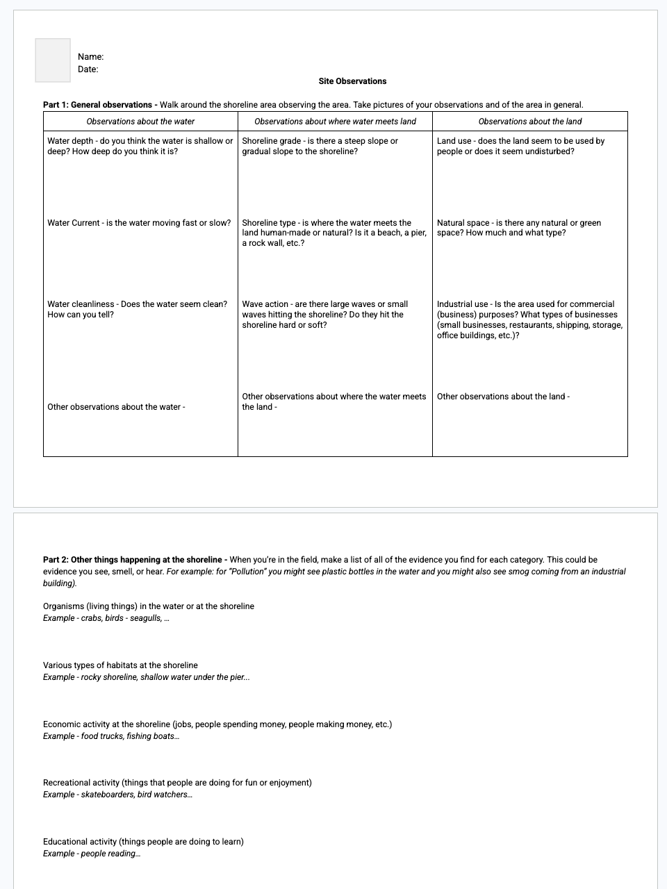
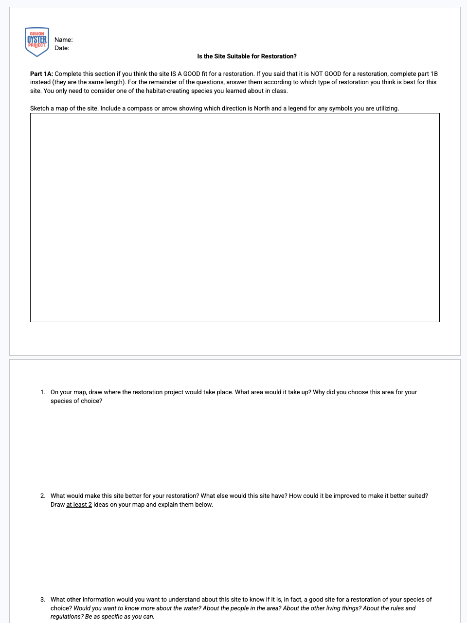
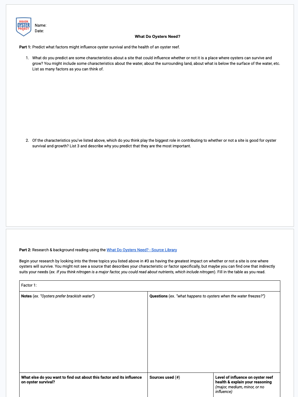
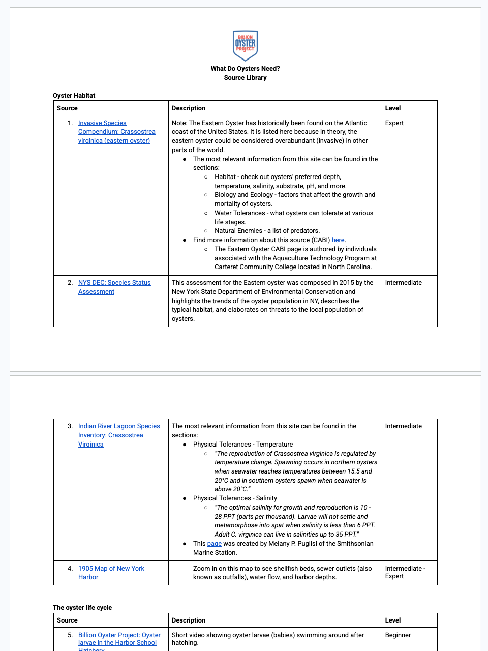
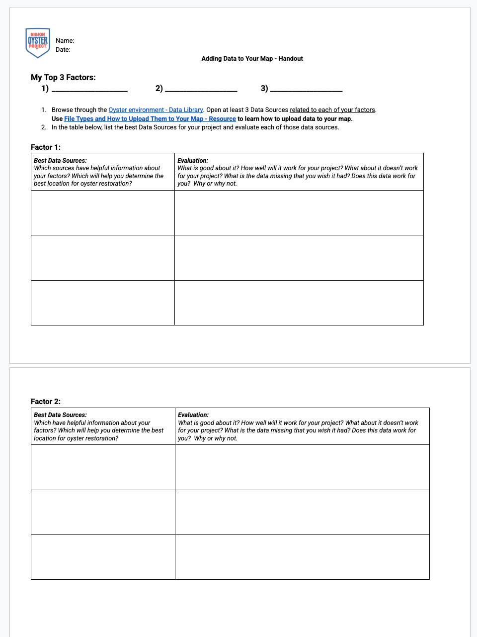
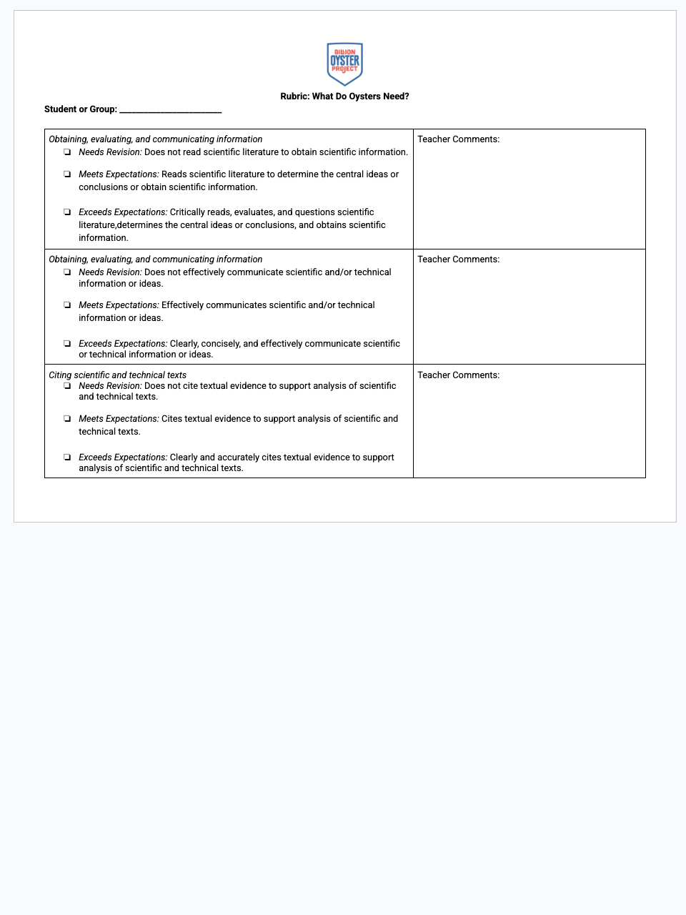
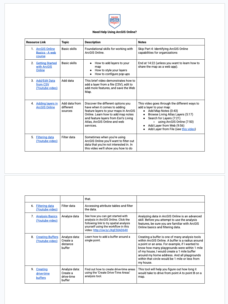
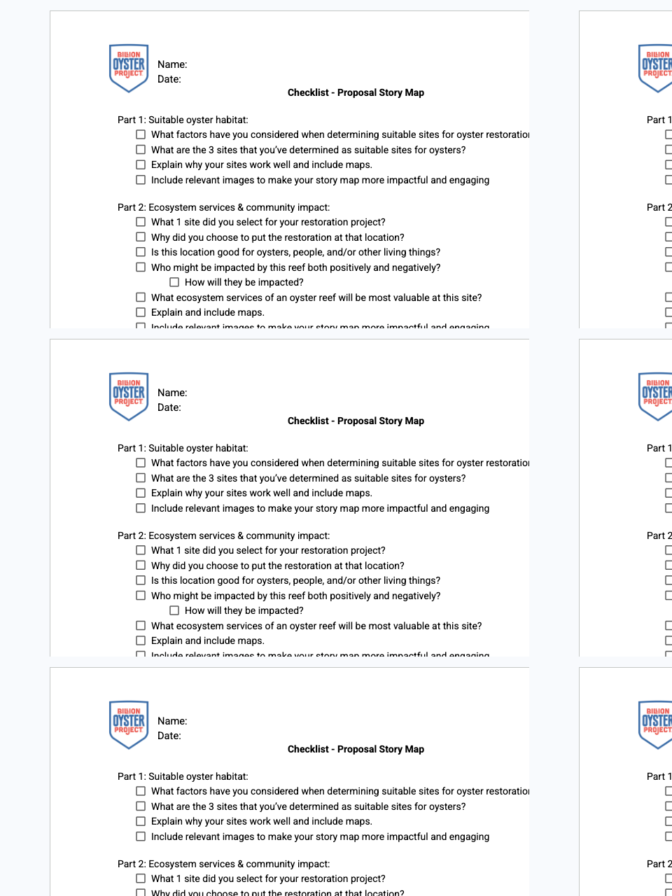
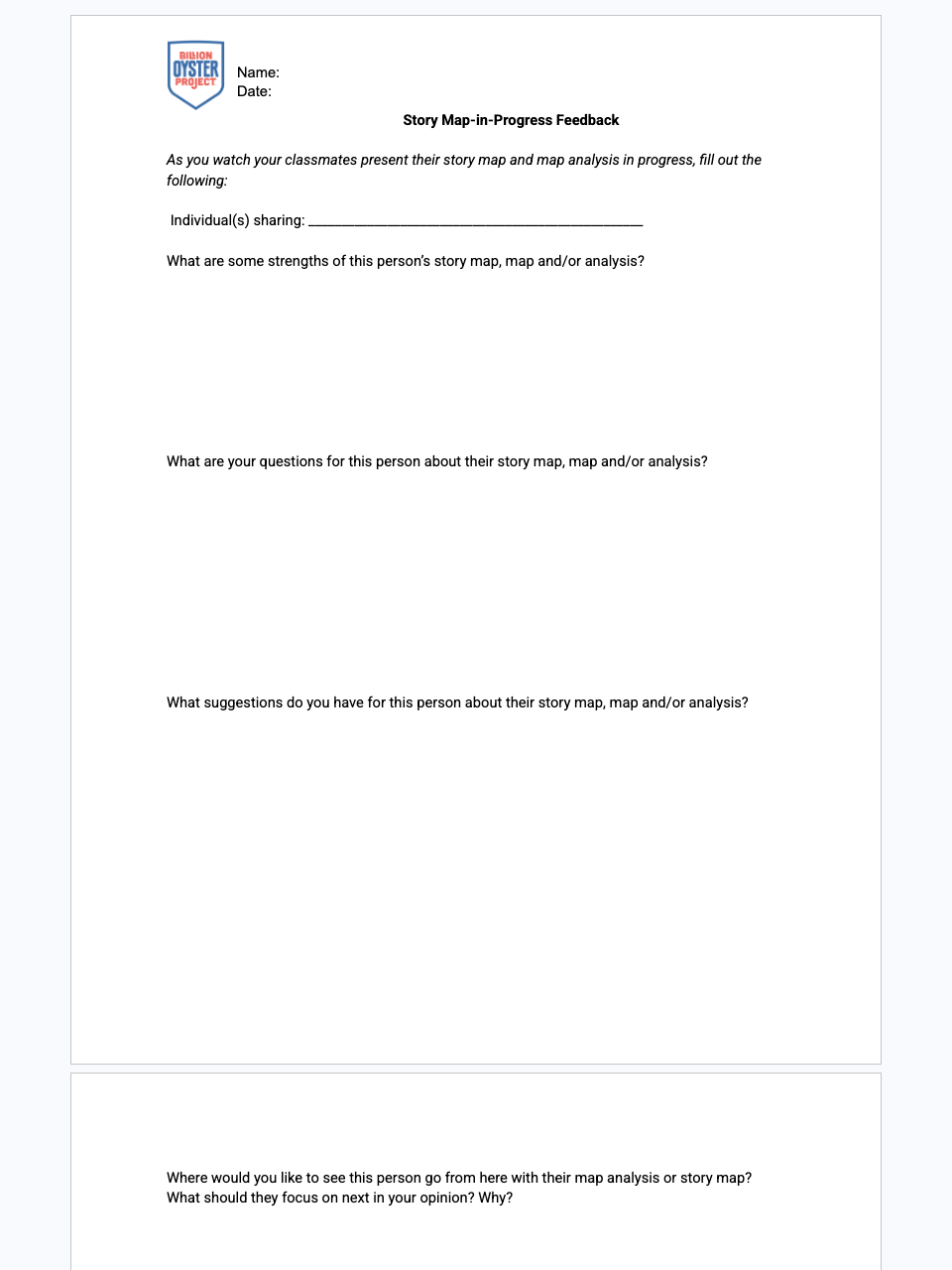
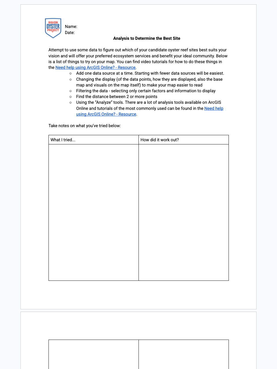
Across 13 lessons and 5 chapters, students take on the role of restoration planners. They weigh the trade-offs of restoring different estuarine habitat-creating species, research what oysters need to survive, and learn ArcGIS Online to map and evaluate real New York Harbor data. They identify three candidate sites, define the community and ecosystem impacts they want their reef to have, rank their sites with spatial analysis, design appropriate reef and education structures, plan community engagement, and finalize a full restoration proposal as an ArcGIS story map that they present and share with BOP or another community group.
5
chapters
Did you enjoy teaching this lesson?
Thanks! Any additional thoughts?
Did you enjoy teaching this lesson?
Thanks! Any additional thoughts?
Did you enjoy teaching this lesson?
Thanks! Any additional thoughts?
Did you enjoy teaching this lesson?
Thanks! Any additional thoughts?
Did you enjoy teaching this lesson?
Thanks! Any additional thoughts?
Did you enjoy teaching this lesson?
Thanks! Any additional thoughts?
Did you enjoy teaching this lesson?
Thanks! Any additional thoughts?
Did you enjoy teaching this lesson?
Thanks! Any additional thoughts?
Did you enjoy teaching this lesson?
Thanks! Any additional thoughts?
Did you enjoy teaching this lesson?
Thanks! Any additional thoughts?
Did you enjoy teaching this lesson?
Thanks! Any additional thoughts?
Did you enjoy teaching this lesson?
Thanks! Any additional thoughts?
Did you enjoy teaching this lesson?
Thanks! Any additional thoughts?